Tiki3D @INTERGEO 2025
🌎 INTERGEO 2025 is a wrap, and the future of geospatial technology has never felt more tangible!
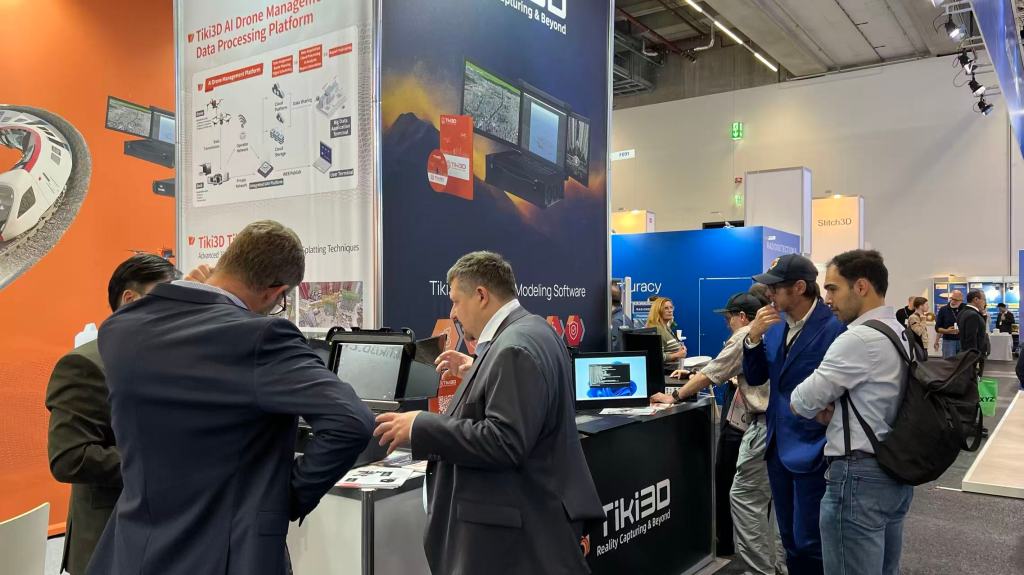
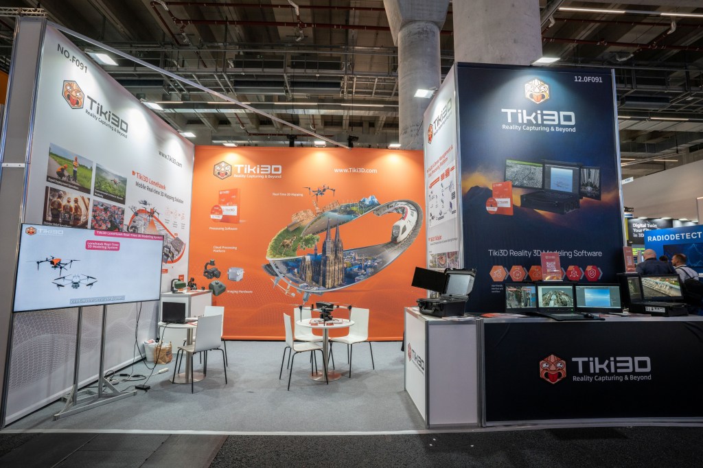
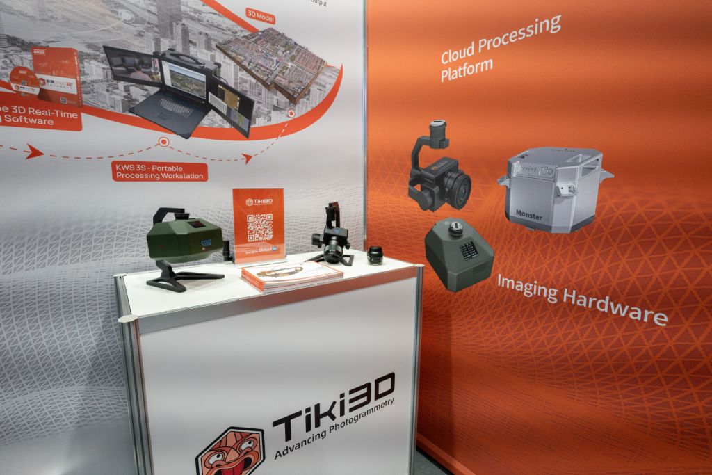
We’re thrilled by the overwhelming interest in the Tiki3D end-to-end systems.
What captured everyone’s imagination during the show?
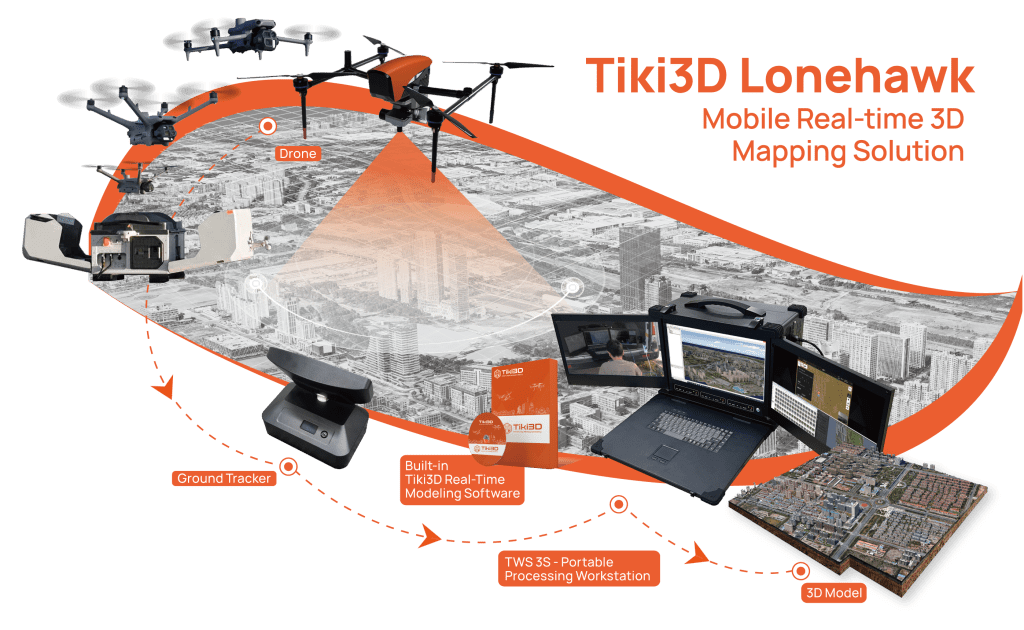
💫 The Need for Speed: Our Lonehawk Real-Time Modeling System stopped people in their tracks. Imagine visualizing completed models and performing measurements live as the drone captures data. This isn’t the future—it’s today’s reality, revolutionizing how we handle emergency response and time-sensitive projects.
🏫 The Power of 3DGS: TikiSplat (3DGS module in Tiki3D Software Suite) wowed the crowd with its hyper-realistic, highly accurate models, proving the immense potential of image-based modeling of sophisticated structures/substations.

From our aerial imaging hardware (Little Monster, FalconEye) and docking stations to our powerful TWS Mobile Workstations and software suite, it was a privilege to demonstrate a seamless reality capture workflow from acquisition to insight.
A massive thank you to all the new connections and old friends who made this event so special. The conversations and feedback were invaluable.
See you all in Munich for #INTERGEO2026!
#Tiki3D #GeospatialTech #RealityCapture #LonehawkRealTime #TikiSplat #3DGS #DigitalTwin #AerialMapping #Drones #Photogrammetry #LiDAR #Innovation

Leave a comment